Charts are the home screen
VFR sectionals, IFR low and high, satellite and a decluttered night chart — your route, airspace, navaids, traffic and TFRs on a GPU moving map that renders entirely on-device. A full rotatable globe is one zoom away.
Obelisk is an on-device Electronic Flight Bag for iPhone & iPad — FAA charts, coded procedures, georeferenced plates, weather, traffic and flight planning, all built to fly with no signal.

From GA singles to rotor-wing, Obelisk rides along in real aircraft — the whole flight bag on the panel you fly, with no signal required.
Footage: Aerial over Virginia — Sudeep Gowda, CC BY 3.0 · Cessna 152 takeoff — Miha Lesjak, CC BY 3.0 · Helicopter over London — Acabashi, CC BY-SA 4.0
Everything a glass cockpit gives you for situational awareness — charts, procedures, weather, traffic and planning — running offline on the iPad you already fly with.
VFR sectionals, IFR low and high, satellite and a decluttered night chart — your route, airspace, navaids, traffic and TFRs on a GPU moving map that renders entirely on-device. A full rotatable globe is one zoom away.
FAA-coded approaches, SIDs and STARs draw to scale and load into your plan — with published holds on the correct side. Roughly 9,000 georeferenced approach plates snap to exact place, scale and orientation on the chart.
A full NOAA briefing — GOES, prog charts, METAR/TAF decoded, radar and animated winds aloft — plus NASA fire, storm and volcanic hazards on your route. Every chart you view is cached for offline re-open.
Give it your altitude and the aircraft's glide ratio and it ranks every airport in gliding range — sweeping terrain along each path, so a field behind a ridge is shown blocked, not offered. One tap restores your plan.
A ForeFlight-style route field parses into a colour-coded plan with live DIST, ETE, ETA, fuel and wind. Hand the plan to ForeFlight app-to-app, or export a Garmin .fpl — offline, no cell signal required.
Charts, plates, airspace and navdata are bundled or downloaded once, then it flies with no signal. No backend to reach, no account required to fly, nothing to phone home to.
Paste a ForeFlight-style route and Obelisk parses it into a colour-coded plan on real VFR and IFR charts — with live DIST, ETE, ETA and fuel, and one-tap hand-off to ForeFlight.
Charts, plates, procedures, airspace and the whole navigation database run locally — no backend to reach, no account required to fly, and no “no signal” page in the middle of a busy approach.
Every chart, plate and procedure runs on the device — it flies anywhere, with nothing to phone home to.
Downloads once. Then it works with no signal.
Real screens from Obelisk on iPad — the live chart, the flight bag and the night cockpit, all running on-device. No mockups.

Paste a route and Obelisk parses each airport, VOR and fix into a colour-coded plan on real charts — with the trip's distance, time, fuel and wind live underneath, and one-tap hand-off to ForeFlight.
A GPU chart engine renders FAA sectionals, airspace, airways, navaids, traffic, TFRs and your route entirely on-device — with tap-to-identify on anything and your flight plan, GPS and weather as cards you arrange.
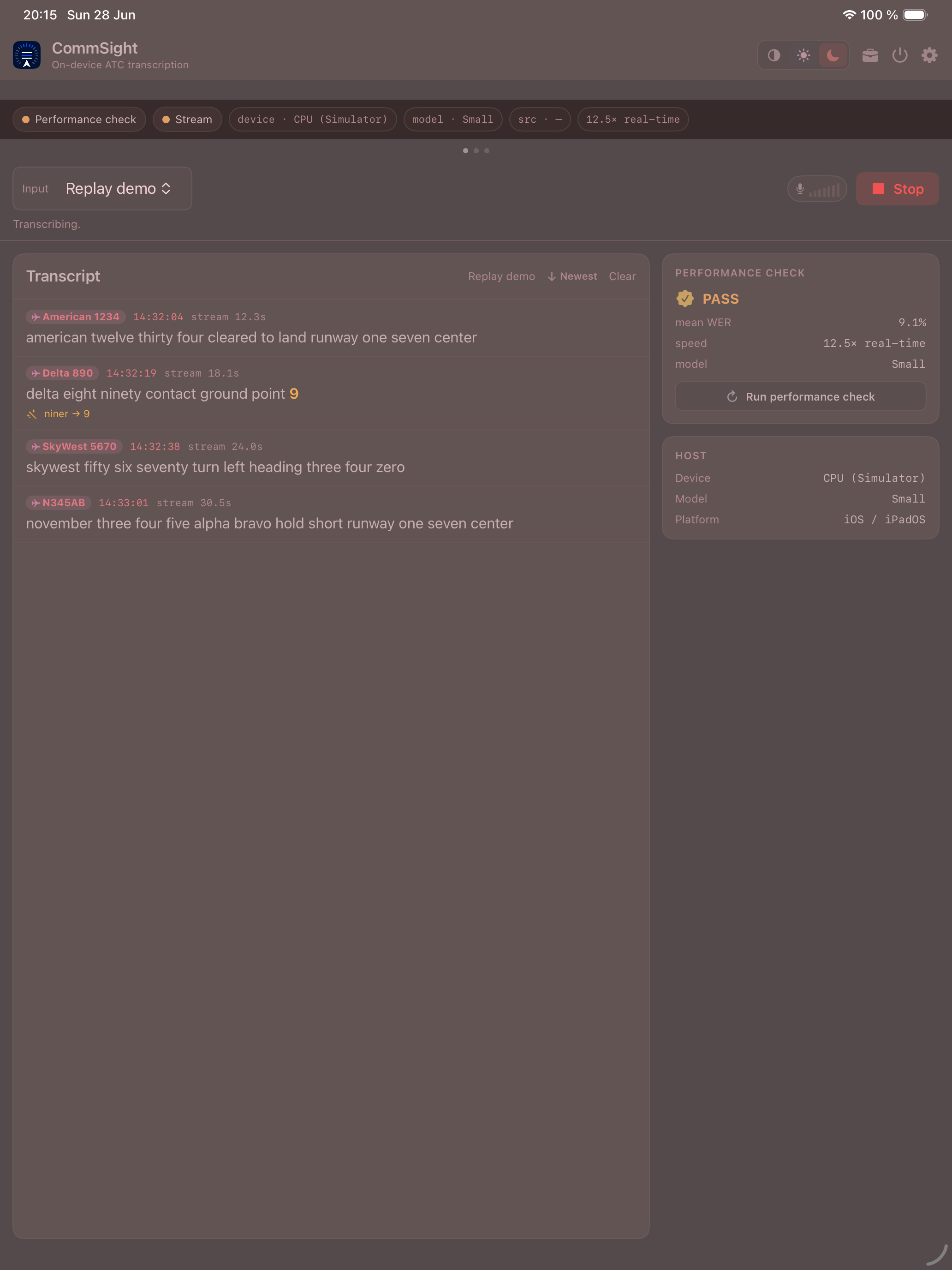
Three cockpit themes — black, daylight-white and a true red night mode where the chart dims under a red wash and plates open pre-inverted, protecting your dark adaptation at altitude.
Obelisk is engineered by Obelisk Aerospace LLC in its White Sands Research Division — where aerospace-grade data, on-device performance and human-factors design are built for the flight deck.
White Sands Research Division
Install Obelisk and start your 30-day free trial. iPhone & iPad, on-device.
Prefer the App Store? Get notified at launch.